 Off on another epic adventure! LocalTourist decides to run Broadway the entire length of the island of Manhattan. What a great way to see the snowfall over every part of the city. Here is intrepid partner G at the 215th street #1 train stop, ready to run. It is still snowing heavily. Couldn't be bothered to wait until the blizzard was over, that's no fun.
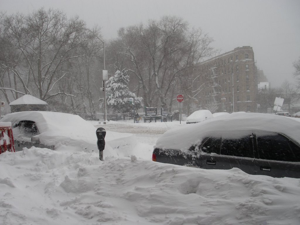
We're running through this? It's deep! Not everyone has had a chance to get out and clear their sidewalks yet.
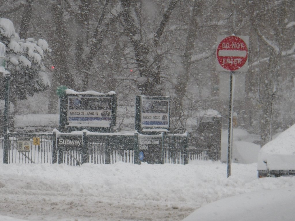 Upon closer inspection, you can see we are already at the Dyckman Street A train subway station!
 This is pretty close to 125th street. It was here that it became apparent the camera battery charge was extremely low. Any attempt to zoom in made the camera shut off immediately, which explains this pic of my running partner in the yellow jacket, lower right. Keep looking. (click any photo to enlarge)
 Columbus Circle, where Broadway crosses Eighth Avenue (Central Park West). Lots of people out enjoying Central Park. This is the place where New Yorkers come to see snow when it falls.
Apparently, LocalTourist missed the photo opps where Broadway crosses Ninth Avenue (Columbus Avenue) at Lincoln Square, and Tenth Avenue (Amsterdam Avenue), before it. Ooops. Too busy jumping through snowdrifts.
 The Maine Memorial, at the Southwest corner of Central Park.
 Hitting Times Square, where Broadway crosses Seventh Avenue, and the world crosses New York. The Hersheys store does not close for no stinkin' snowstorm! There are a surprising number of customers wandering around the area for them to sell to.
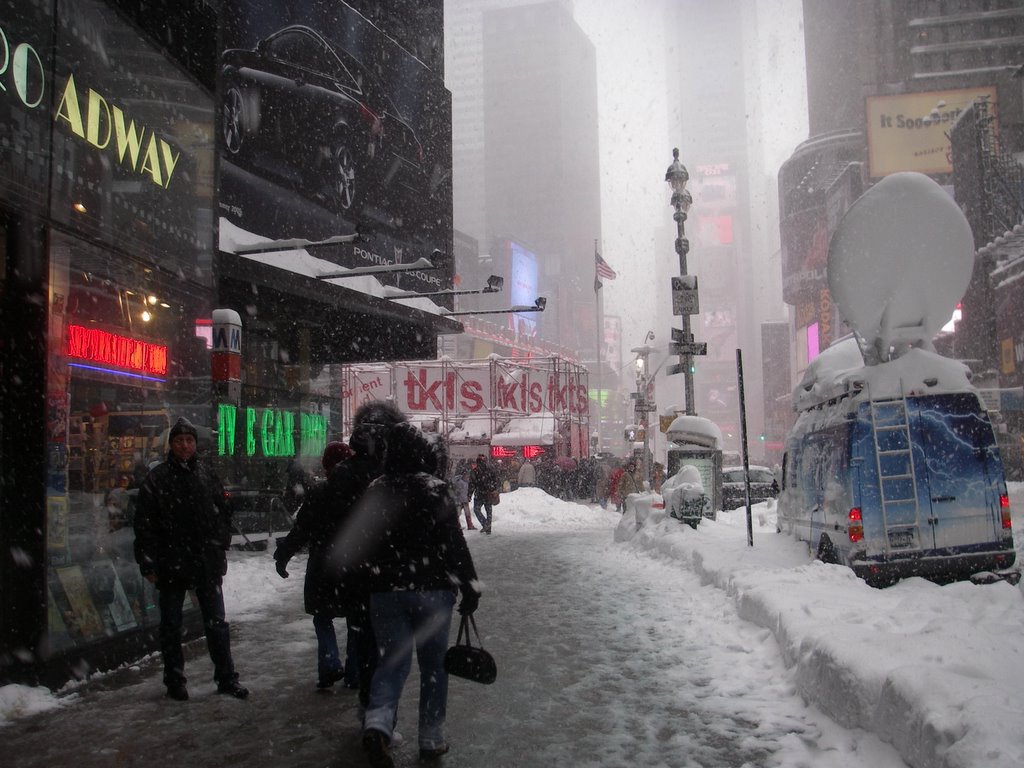 There was a huge crowd at TKTS Discount Broadway tickets booth. All the tourists staying in Times Square hotels were there.
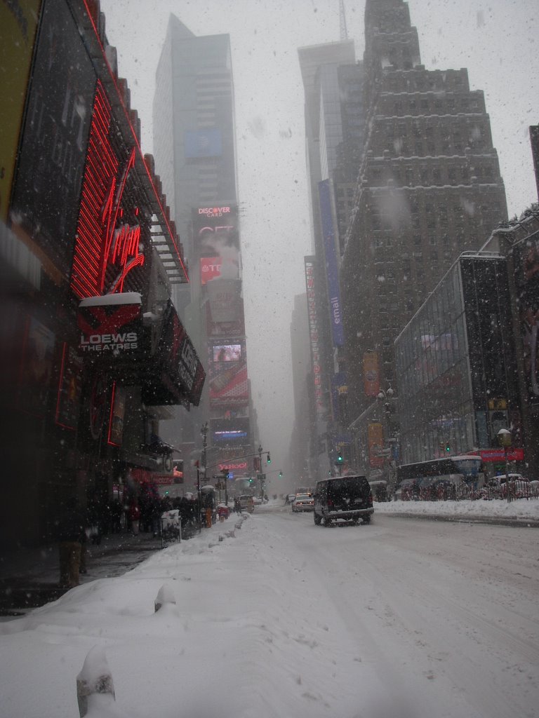 Cup O' Noodles up there steamin' away, on the building to the left of the gap (click on photo to enlarge). Still snowing.
 Herald Square, where Broadway crosses Sixth Avenue. Macy's just to the left of the picture. Good golly, will ya check out the height of the snow pack on those cafe tables? Really makes you believe the 26.9" total recorded in Central Park.
 The venerable Macy's with a bit of snowy trim.
 The Campanile of the Met Life Building at 23rd st, where Broadway crosses Fifth Avenue. Also known as Madison Square Park.
 Some people really like all the snow. This guy looks like he has been sitting out in it all day. He's thinking "sweet! No pigeons".
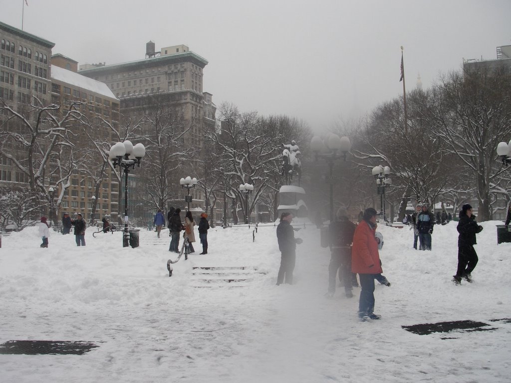 Union Square, downtown baby. Where Broadway crosses Fourth Avenue. At this point the batteries in the camera are so low, LocalTourist is literally pointing and shooting, very quickly before the camera shuts off. The blur is wetness on the lens. There is not a spot left on LocalTourist's clothing that is dry enough to wipe anything off. Luckily, this is a waterproof camera.
 Animals frolicking in the snow in City Hall Park.
 City Hall Fountain, City Hall in the background. Getting close to the end, yeah.
Ah, the end of Broadway, at last! The famous Bull, guarding Bowling Green to the right and behind him, and the ornate Customs House in the background.
 The upper levels of the Customs Building, just south of Bowling Green. Designed by one of LocalTourist's favorite architects, Cass Gilbert. The entrance of the building was blocked by construction equipment, since there is a lot of work going on down here right now.
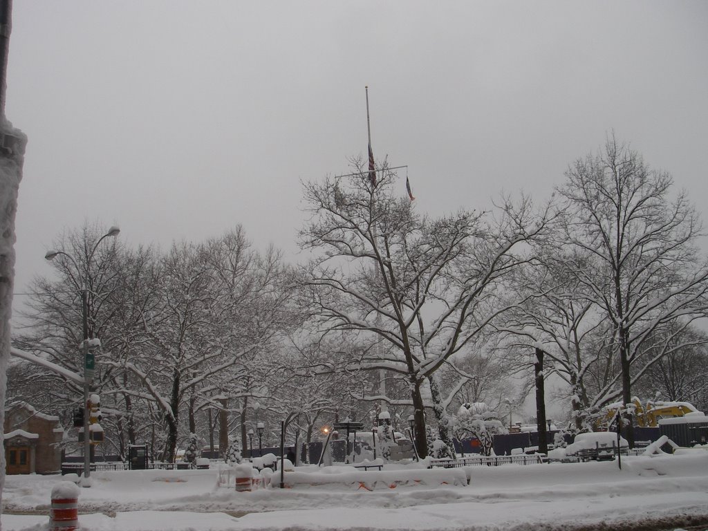
Battery Park, the farthest southern tip of the island. Whew.
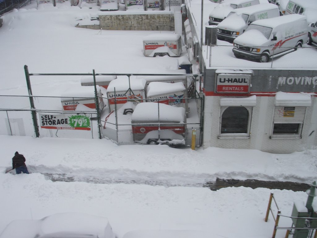
Not only was that a long run (12.25), it was a HARD run. Little traction, deep snow, high energy output. A good way to spend a record breaking snow day.


.0.jpg)
.jpg)
.jpg)
.jpg)
.0.jpg)
.1.jpg)
.jpg)
.0.jpg)
.jpg)
.jpg)
.1.jpg)

.jpg)